
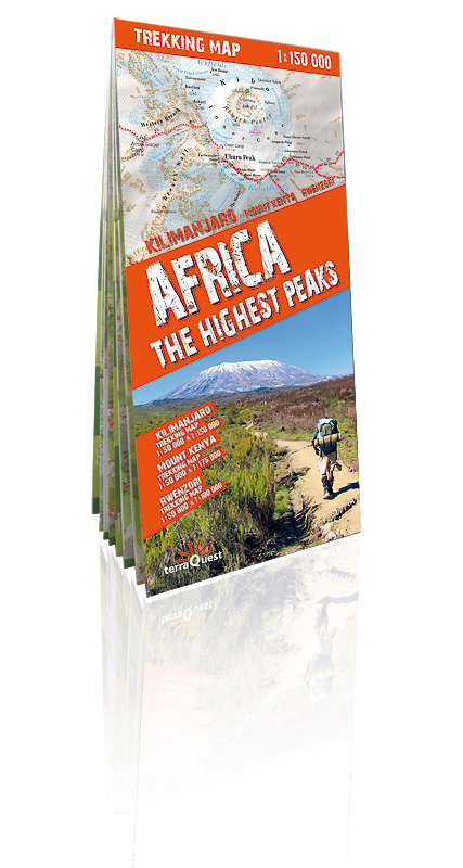
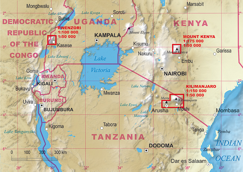
This trekking map includes the African peaks that are most popular among avid mountain hikers: Mount Kilimanjaro, Mount Kenya and the Rwenzori Mountains. It covers areas in Kenya, Tanzania and Uganda.
A large-scale map with rich tourism content will allow you to plan your trek in detail.
Our maps are laminated and easy to fold (due to the Comfort! Map technology), which makes them exceptionally handy even in the harshest mountain weather.
 Map characteristics:
- rich tourism content (including trekking routes, tourist infrastructure, natural attractions and other sights of tourist interest),
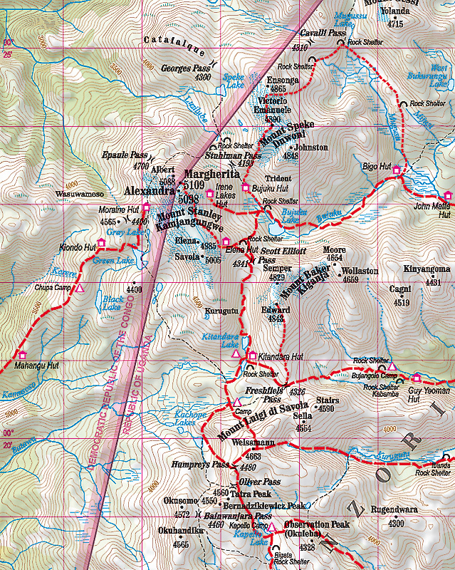
- exhaustive topographic information (on the roads, hydrographic features, farmlands, forests, glaciers etc., given in extended nomenclature),
- shaded relief, representing the area's three-dimensional topography,
- GPS compatibility (WGS84 geographic coordinates),
- map legend in six languages: English, German, French, Spanish, Italian and Polish.
The title comprises maps of the following regions:
- Kilimanjaro National Park and Arusha National Park (1:150 000),
- area around the Kibo summit of Mount Kilimanjaro (1:50 000),
- volcanic massif of Mount Kenya (1:175 000),
- top of Mount Kenya – Batian & Nelion (1:50 000),
- Rwenzori Mountains National Park (1:100 000),
- highest peaks of the Rwenzori Mountains – Margherita & Alexandra (1:50 000).
Map legend in six languages: English, German, French, Spanish, Italian and Polish.
 |
 |